Optimizing Ultra High Resolution Flood Simulations
RSS-Hydro’s most recent value-added includes cutting edge 3D visualization using the newest available tech and highest quality data on the market. The company uses its own model simulation results and map products, as well as various other geospatial datasets with scene-generation platforms and software to build realistic 3D visualizations of disaster impact that help increase resilience of vulnerable communities.
RSS-Hydro is building on scientific advances in remote sensing, Earth Observation, drones & computer models for a more sustainable, resilient & fair world
- Geospatial Services
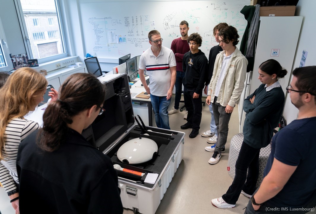
Advanced computer models and cutting-edge remote sensing technologies - Drone-based Services
High-end drones with the newest sensor technologies to respond to real challenges - Applied Research
Cutting-edge R&D projects on natural disasters,
Earth Observation in partnership with national & international organizations
Flood risk commercial maps from:
- 3rd party Earth Observation data
- 2-D flood modeling (+ HPC)
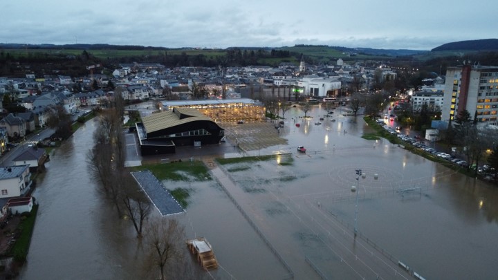
Showing flooding risk likelihood of today + including climate change effects.
10x speed on MeluXina GPU nodes
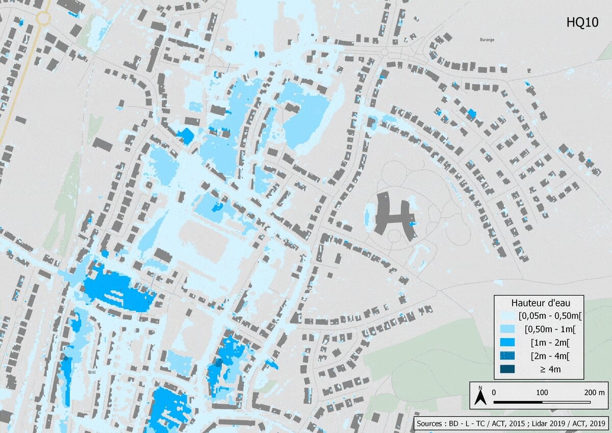

We offer scientific maps of building-scale flood risk, using the latest scientific advances combined with the latest advances in technological innovation in computer modeling and remote sensing. With MeluXina, we multiply by 10 the speed and the calculation performance of our flood simulations, which considerably strengthens the effectiveness and efficiency of our activities.
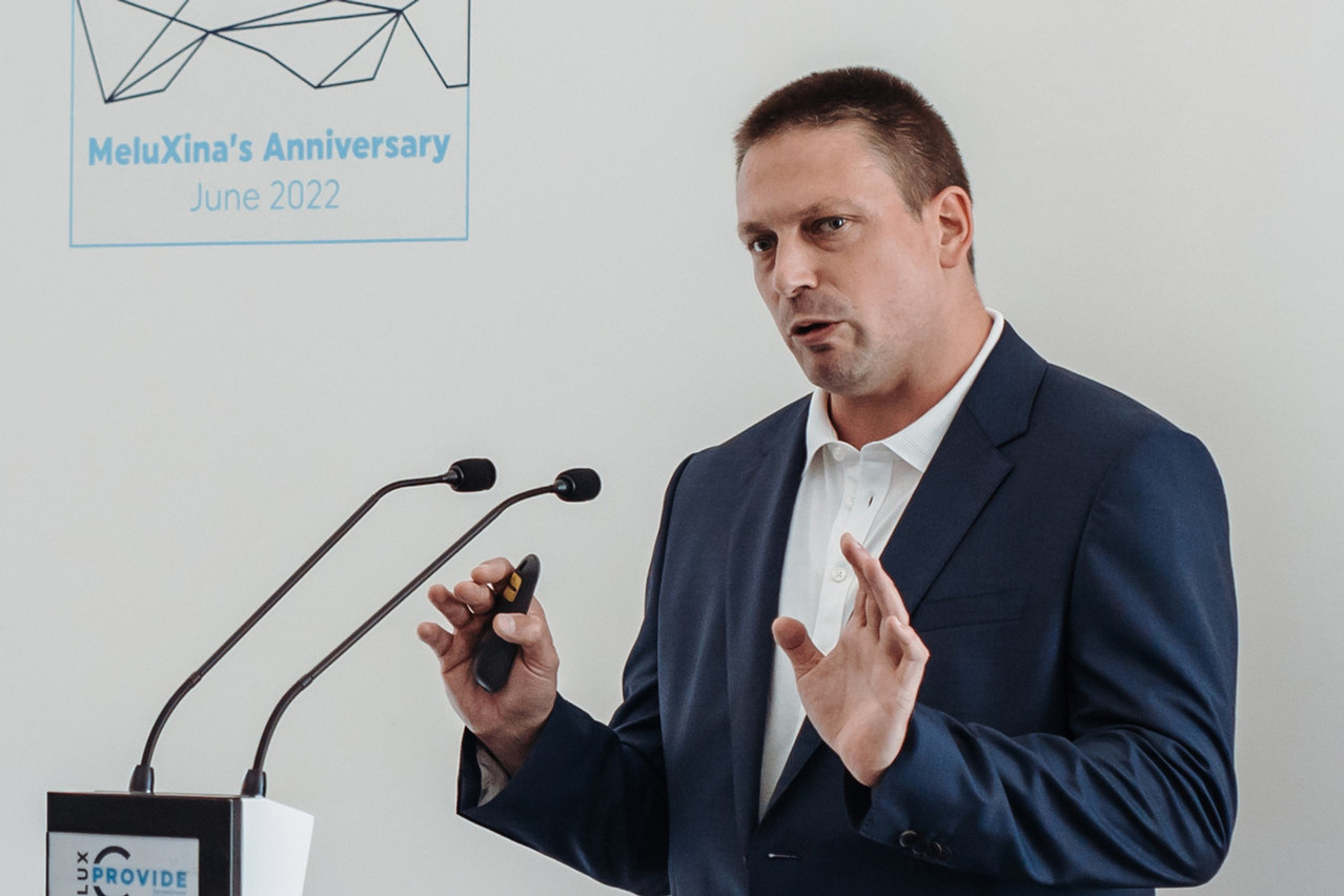
Guy Schumann, CEO of RSS-Hydro
Guy Schumann, CEO of RSS-Hydro