Harnessing the Power of Satellite Data for Environmental Analytics
Trees and urban green are one of the best tools to reduce city temperatures and flood risk, whilst also making our neighbourhoods places we want to live.
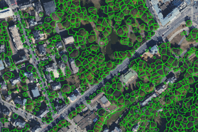
WEO utilise deep learning and satellite imagery to provide regular actionable insights for cities to help grow their urban forest to tackle climate change.
WEO utilise Sentinel-mission satellite data as a base to provide global coverage on a regular basis. This is then combined using machine learning with high resolution sources such as Aerial Photogrammetry and Lidar to provide high resolution actionable insights.
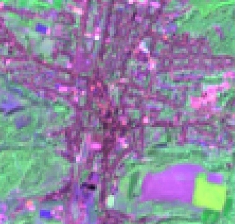
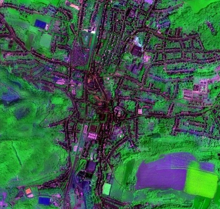

The utilization of high-performance computing in training on big Earth data is paramount to unlocking the true potential of remote sensing data for environmental analysis. The sheer volume and complexity of Earth observation data require vast computational power to process, analyze, and extract meaningful insights. The collaboration with LuxProvide and the utilization of MeluXina allowed for efficient handling of these large-scale datasets, enabling us to develop and fine-tune sophisticated models that can effectively interpret and leverage the rich information contained within remote sensing data. This has allowed us to deliver state-of-the-art maps and analytics that support sustainable urban planning and monitoring.
Frankwin van Wiesen, Head of Development of WEO Water
Frankwin van Wiesen, Head of Development of WEO Water